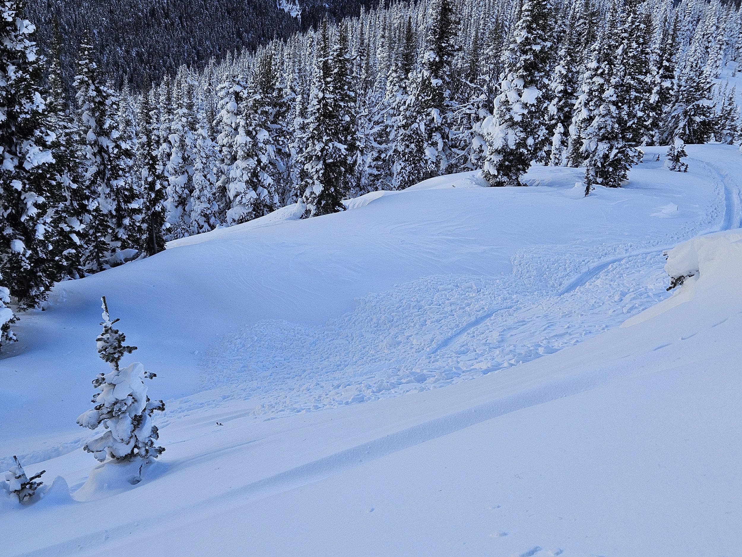
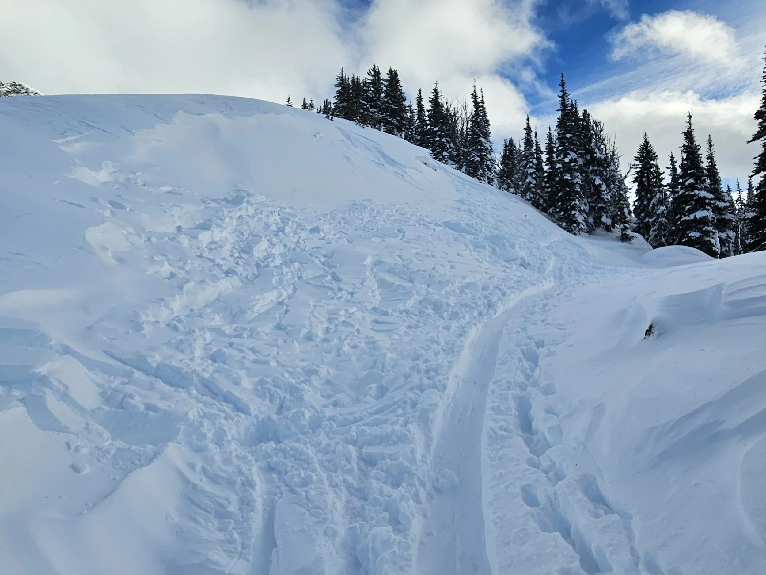
Dec 19, 2024 Conditions Report with Mitch Sulkers
December 19th, 2024
Note as of December 21st, 2024: Since this was written on the 19th, we have had two days of very high freezing levels and look like at least one more. Surface conditions to 2200m or more have been affected, with rain at times to the top of Whistler Mountain…
LAYERS!
As I look at our current snowpack and forecasts for the coming week, what comes top of mind for me is the concept of “layers” within the snowpack: specifically, I am concerned about the nature of individual layers as they are created and the bonds between these layers.
For the better part of a month, things have been pretty easy for judging the local Whistler snowpack. A good healthy dose of snow from an early season cool system, followed by a period of relatively stable weather that contributed to a well bonded, stable lower and middle snowpack welcomed us to the season. Unfortunately, a warming trend in early December, was followed by a system that came in on December 7th and buried a surface crust with a little snow, followed by lower temperatures and clear night skies that created a layer of weaker facet crystals above and below this layer.
It’s what has followed that has me thinking about layers.
The December 7th crust and associated facets generally are not something that will just disappear over a few nights. A couple of good storms have already dropped significant snow on this layer, with just enough time and temperature change between the storms to create a difference in density and crystal form. The depth of the recent snow has insulated the December 7th and associated layers, causing them to change more slowly. In the meantime, the more recent storm snow is bonding quite well, creating a stronger bridge over the potentially weaker layer.
This is where the coming forecast becomes a factor. While we are getting “hard” results on a layer about 10cm above the December 7th crust, the strengthening bridge above it is about to be added to by a series of frontal disturbances with varying winds, rates of precipitation, and temperatures. As I write this on Thursday afternoon, the week ahead looks to bring significant snow most days, and the freezing level, always fluctuating this close to the Coast, ranges from a high of 2400m to as low as 1100 at times
Each of these systems will add another “layer” to the existing snowpack. Top of mind as we move into this busy season will be how well these layers are bonding to each other, how the wind is distributing the fresh snow, and how temperatures work towards bonding within the layers themselves. Backcountry and steeps enthusiasts will need to pay close attention not only to the forecast, but the actual effects in the zone of play as well. It’s going to be heads-up hockey for the foreseeable future.
As the snow accumulates, bear in mind that the December 7th crust and facet combo is really the foundation for the snow we are playing on–what’s beneath seems really quite stable. Big forces, like cornice collapses or avalanches, could stress the December layer further, as will additional snow load. Be particularly careful where the snowpack is thinner, especially in steep rocky start zones with a shallow snowpack.
Mitchell Sulkers
Extremely Canadian


